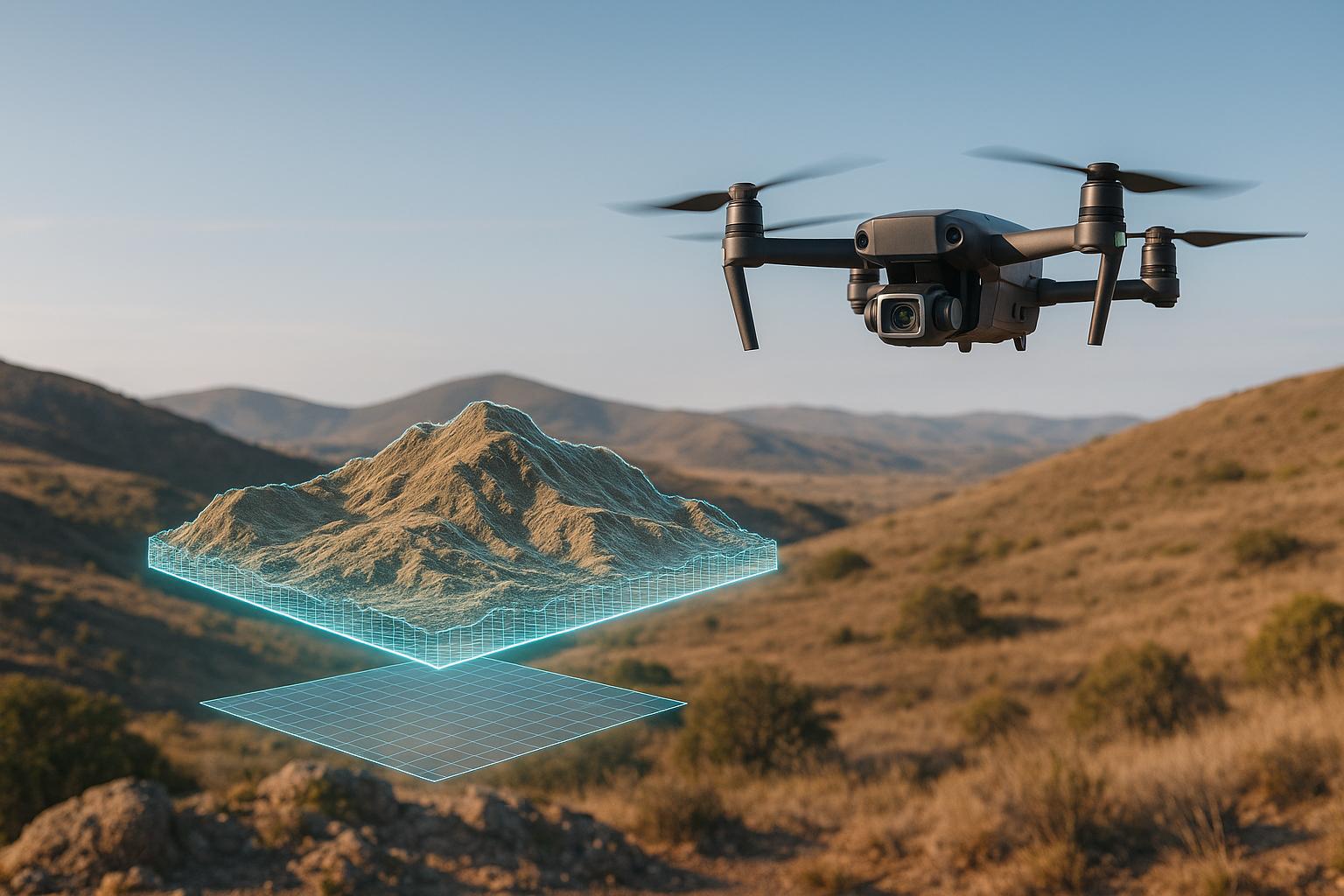
Pix4D and DJI Terra are leading 3D modeling tools, each tailored to specific needs. Pix4D offers precise, survey-grade outputs and supports various drone platforms, making it ideal for detailed, large-scale projects. DJI Terra, on the other hand, integrates seamlessly with DJI drones, providing faster processing for smaller datasets and real-time mapping capabilities.
Key Highlights:
- Pix4D: High accuracy, supports multiple drone brands, better for large datasets, and offers advanced outputs like NDVI maps. Pricing starts at $350/month or $4,400 for a perpetual license.
- DJI Terra: Optimized for DJI hardware, faster processing for smaller datasets, real-time mapping, and strong LiDAR support. Pricing starts at $2,000/year.
Quick Comparison:
| Feature | Pix4D | DJI Terra |
|---|---|---|
| Hardware Support | Multiple drone brands | DJI drones only |
| Processing Speed | Slower for small datasets | Faster for smaller datasets |
| Accuracy | Sub-centimeter precision | High accuracy with ground control |
| Advanced Outputs | NDVI, DSMs, dense point clouds | LiDAR integration, real-time maps |
| Pricing | $350/month or $4,400 perpetual | $2,000/year |
Your choice depends on your project scale, hardware setup, and precision needs. Pix4D excels in versatility and precision, while DJI Terra is perfect for DJI users seeking speed and simplicity.
Comparison between Pix4D and DJI Terra

Pix4D Overview
Pix4D is a photogrammetry platform that transforms aerial and ground imagery into highly accurate digital assets. Based in Switzerland, the company is well-known for its precision, making it a go-to solution for industries like construction, surveying, and infrastructure management.
Main Features and Functions
Pix4D stands out for its ability to process drone imagery into detailed 3D models, orthomosaics, and point clouds. It also generates specialized outputs like NDVI maps for agriculture and Digital Surface Models (DSMs) for topography. The platform offers tools designed to meet the demands of various project sizes and types:
- PIX4Dmapper: A flagship desktop application ideal for standard photogrammetry tasks.
- PIX4Dmatic: Built for large-scale projects, it processes datasets with over 5,000 images while maintaining precise accuracy.
- PIX4Dcatch: When paired with RTK rovers, it delivers terrestrial scans with centimeter-level precision.
In the construction and AEC (Architecture, Engineering, and Construction) sectors, Pix4D proves invaluable for tasks like project planning, excavation monitoring, and verifying as-built conditions. It supports topographic surveys, detects infrastructure elements, and seamlessly integrates with CAD and GIS workflows. Additionally, it enables BIM (Building Information Modeling) integration, allowing users to import BIM models and export data to platforms such as Trimble Connect.
Another standout feature is the use of Gaussian Splatting in PIX4Dcloud, which produces dense point clouds and photorealistic models. Performance has also seen a boost with PIX4Dmatic, capable of processing datasets up to 50% faster. For example, a 5,294-image dataset was processed nearly 70% faster with PIX4Dmatic compared to PIX4Dmapper, showcasing its efficiency.
Pix4D’s capabilities have been demonstrated in real-world scenarios. In 2016, Petrobras reconstructed a 750,000 m² area using 2,588 images captured over three days. The resulting models closely matched existing design files, highlighting the platform's accuracy and reliability.
Pros and Cons
| Advantages | Limitations |
|---|---|
| Delivers survey-grade accuracy with sub-centimeter precision | Has a steeper learning curve, requiring technical expertise |
| Offers hardware flexibility, supporting various drone platforms | Comes with a higher price point compared to simpler tools |
| Produces advanced outputs like NDVI and DSMs | Can experience processing instability with extremely large datasets |
| Provides professional support and detailed documentation | Limited cloud editing capabilities in PIX4Dcloud |
Pix4D’s precision has been validated in projects like that of Pölkky Oy, a Finnish wood processing company. They achieved measurements within one centimeter of on-site results using PIX4Dmapper.
However, the platform’s complexity isn’t without challenges. Large datasets can occasionally strain processing stability, forcing users to tweak settings or break projects into smaller chunks.
"The navigation and speed of both processing and display are revolutionary for the large projects we are working on." - Jason Hagon, GeoDrone Survey (UK)
Cost and Licensing
DJI Terra Overview

DJI Terra is a 3D modeling software tailored specifically for DJI Enterprise drones. Created by DJI, this platform seamlessly integrates with DJI’s hardware, offering a streamlined solution for data collection, processing, and application.
The software’s standout feature is its close alignment with DJI’s ecosystem. It supports enterprise drone models like the Matrice 4E and Matrice 400, along with payloads such as the Zenmuse P1 camera and Zenmuse L2 LiDAR sensor. This integration reduces the compatibility headaches often found when mixing hardware and software from different vendors.
Main Features and Functions
DJI Terra excels in advanced reconstruction techniques, including 3D Gaussian Splatting. This method significantly improves how complex elements - like fine details, transparent surfaces, reflective objects, or vegetation - are represented compared to traditional photogrammetry methods using visible light.
The software is designed for efficiency, processing up to 500 photos per hour for smaller tasks and scaling up to 2,000 photos per hour for larger projects. It also merges LiDAR and visible-light data to create precise point clouds, 2D maps, and 3D mesh models, achieving centimeter-level accuracy without requiring ground control points.
For large datasets, DJI Terra employs cluster reconstruction technology. For instance, it can handle 6,000 photos with just 1 GB of RAM or process 30,000 photos in just 21 hours using five worker devices. This makes it a robust option for managing extensive mapping projects.
Field operations are simplified with automated mission planning. The software generates waypoints and flight paths based on selected points in a 3D reality model or point cloud, which is especially useful for repeat surveys and monitoring tasks. Additional features include built-in PPK (Post-Processing Kinematic) capabilities for high-precision surveys, support for control and check point calibration, and compatibility with over 8,500 coordinate systems.
In practice, DJI Terra has proven its capabilities. For example, researchers in Central America processed over 700 GB of LiDAR data in a single day to create dense digital terrain and elevation models. The software’s point cloud classification tools allowed them to strip away jungle canopies, focusing on ground data to investigate ancient Maya ruins.
While DJI Terra is optimized for users within the DJI ecosystem, this focus can limit its appeal to those relying on a mix of drone platforms.
Pros and Cons
| Advantages | Limitations |
|---|---|
| Tight integration with DJI hardware simplifies workflows | Exclusivity to DJI hardware limits flexibility |
| High processing speeds for quick results | Lacks some advanced outputs found in specialized photogrammetry tools |
| Easy-to-use interface with minimal technical learning curve | Limited compatibility with third-party software |
| Offline processing ensures usability without internet access | Smaller user base compared to older platforms |
| Competitive pricing for DJI users | Less established in traditional surveying industries |
DJI Terra ensures a seamless transition from data capture to processing, making it highly efficient for DJI users. However, its hardware exclusivity can be a challenge for organizations using diverse drone setups.
In June 2024, DJI Enterprise showcased Terra’s capabilities during a major construction project. Using the Zenmuse L2 sensor, the platform combined data from multiple flights into a single point cloud, simplifying the mapping of Everton FC’s new stadium.
Cost and Licensing
DJI Terra’s pricing structure offers options to suit different needs. The Terra Advanced license costs around $2,000 per year and covers core photogrammetry and basic 3D reconstruction.
For more complex projects, the Terra Pro license is available for approximately $3,000 annually, offering advanced features like LiDAR processing and cluster reconstruction. Alternatively, users can opt for the Terra Pro Perpetual License for a one-time payment of about $4,000, with an additional $440 per year for updates after the first year.
Specialized licenses are also available, including versions tailored for agriculture, electricity, and cluster-specific applications. Notably, the Electricity and Pro versions include an offline mode, enabling users to access features without a network connection.
For organizations already invested in DJI hardware, these pricing options make DJI Terra an attractive choice. Up next, we’ll dive into how its features and performance stack up across various industries.
sbb-itb-ac6e058
Feature and Performance Comparison
When it comes to comparing Pix4D and DJI Terra, both platforms bring unique strengths to the table. Your decision will likely hinge on factors like your hardware setup, the scale of your projects, and how precise your results need to be.
One standout difference is processing speed. DJI Terra handles smaller datasets in about half the time it takes Pix4D. On the other hand, Pix4Dmatic shines with larger datasets, especially when paired with high-performance hardware.
In terms of accuracy, Pix4D consistently delivers sub-centimeter, survey-grade precision, while DJI Terra achieves reliable mapping but requires ground control points for its highest levels of accuracy. Additionally, Pix4D generates 2.5× denser point clouds than DJI Terra, providing more detailed surface representations. However, DJI Terra takes the lead in height modeling, offering better accuracy for features like trees, buildings, and power lines.
Comparison Table
| Feature | Pix4D | DJI Terra |
|---|---|---|
| Hardware Compatibility | Works across multiple drone brands, including DJI, Parrot, and Autel | Optimized specifically for DJI Enterprise drones |
| Supported Data Types | JPEG, TIFF, video files, RGB, multispectral, thermal imagery | Visible light imagery, DJI LiDAR data, PLY, B3DM formats |
| Processing Speed | Scales efficiently with powerful hardware; slower for smaller projects | Faster for smaller datasets; about half the processing time of Pix4D |
| Point Cloud Density | Produces 2.5× denser point clouds | Lower density but with fewer coverage gaps |
| Accuracy | Delivers sub-centimeter, survey-grade precision | Reliable mapping; ground control points needed for top precision |
| Real-Time Mapping | Not available | Offers real-time 2D and 3D mapping capabilities |
| Scalability | Handles large-scale projects well with high-performance hardware | Best suited for smaller-scale projects; limited scalability |
Your choice will ultimately depend on your specific needs. If speed is critical for smaller datasets, DJI Terra's faster processing could save valuable time. On the other hand, large-scale projects requiring detailed outputs might benefit more from Pix4D, provided you have the computing power to support it.
These differences highlight how each platform can be tailored to meet the demands of various industries and applications.
Best Uses by Industry
Building on the differences in features and performance, here's how each platform aligns with the unique needs of various industries.
Construction and Site Documentation
In construction, the choice between DJI Terra and Pix4D often depends on the project's scale and precision requirements. DJI Terra excels in small, fast-moving site inspections with its real-time 3D mapping capabilities, making it a go-to for quick assessments. On the other hand, Pix4D's sub-centimeter accuracy makes it a preferred tool for large-scale infrastructure projects where precision is critical. DJI Terra's user-friendly interface simplifies map creation for teams without dedicated drone experts, while Pix4D’s compatibility with a wide range of drones provides construction teams with greater flexibility in their equipment choices.
Surveying and Engineering
For surveying and engineering, Pix4D stands out with its survey-grade precision and diverse output options, making it ideal for detailed documentation. Meanwhile, DJI Terra offers efficient 2D mapping and reliable centimeter-level accuracy, even without ground control points, which is a significant advantage for time-sensitive surveys. According to reports, DJI Terra can boost data collection and processing speeds by up to 10 times. For projects requiring high-precision data, Pix4D's advanced features often justify its steeper learning curve. Additionally, DJI Terra's robust LiDAR data processing - compatible with tools like Zenmuse L1 and L2 - proves invaluable for mapping dense vegetation or challenging terrains. In contrast, Pix4D’s limited support for LiDAR may be a drawback in such scenarios.
Agriculture and Environmental Monitoring
For small to medium-sized farms, DJI Terra is a practical choice due to its straightforward operation, basic plant health maps, and seamless integration with DJI Agras drones, including support for variable-rate spraying prescription maps. Larger agricultural operations often lean toward Pix4D, specifically PIX4Dfields, for its accurate NDVI crop analysis, which helps pinpoint areas needing water or fertilizer.
When it comes to environmental monitoring and forestry, the complexity of the terrain plays a pivotal role in determining the best tool. DJI Terra, with its LiDAR integration, excels in mapping dense forest canopies, creating detailed 3D point clouds of the ground. This capability is particularly useful for identifying erosion, planning trails, or conducting environmental assessments. A 2024 study published in Sensors highlighted that while Pix4D produces denser point clouds, DJI Terra performed better in tree detection and creating comprehensive digital surface models, with fewer gaps in the data. Pix4Dmapper, which primarily relies on photogrammetry, may face challenges in dense forests without LiDAR support but remains highly effective in open agricultural landscapes. Ultimately, DJI Terra offers simplicity and ease of use, while Pix4D provides highly detailed, data-driven mapping for more complex agricultural and environmental needs.
Conclusion
Choosing between DJI Terra and Pix4D boils down to your specific operational needs and priorities, as each platform offers distinct advantages.
DJI Terra, priced at $2,000 per year, integrates seamlessly with DJI drones and provides real-time 2D and 3D mapping through an intuitive drag-and-drop interface. This makes it a strong choice for construction teams, agricultural operators, and users who need quick, straightforward results without requiring advanced technical knowledge. Its LiDAR support with Zenmuse L1 and L2 sensors also makes it a valuable tool for forestry and environmental monitoring projects.
Pix4D, on the other hand, caters to professionals who demand high precision and compatibility across multiple drone types. While it comes at a higher price - $350 per month or $4,400 for a perpetual license - it delivers survey-grade accuracy and supports a wide range of detailed outputs. This makes it ideal for surveyors, engineering firms, and large-scale agricultural operations that require advanced analysis and flexibility.
FAQs
How do Pix4D and DJI Terra compare in terms of processing speed and accuracy?
When it comes to speed, DJI Terra stands out, often finishing tasks up to four times faster than Pix4D. This makes it an excellent option for projects that need quick results or involve smaller scales. In terms of accuracy, both platforms deliver similar performance, though DJI Terra may have a slight advantage depending on the specific project. For larger or more intricate projects, the decision often comes down to the unique demands of the industry or personal workflow preferences.
What are the benefits of DJI Terra’s LiDAR technology compared to Pix4D for specific industries?
DJI Terra’s integrated LiDAR system delivers precise data for mapping intricate surfaces, calculating volumes, and examining areas that are difficult to access. This makes it an excellent tool for industries such as mining, construction, and forestry, where accurate terrain analysis is a top priority.
While Pix4D can process LiDAR data from compatible devices like PIX4Dcatch, DJI Terra stands out with its built-in LiDAR capabilities. This system is particularly effective for mapping rugged landscapes or regions with dense vegetation. Its seamless design allows for quicker and more streamlined workflows, perfectly suited for challenging environments.
Which software is more budget-friendly for small-scale farmers needing detailed crop analysis?
For small-scale farming operations that require detailed crop analysis, Pix4D stands out as an affordable option. With pricing starting around $370 per year, it offers advanced mapping tools specifically designed for precision agriculture. These features provide highly accurate data, making it a practical and budget-conscious choice for farmers working with smaller plots or focusing on specific crops.
