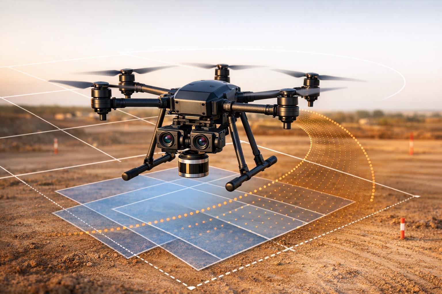
Multi-camera setups on drones improve aerial surveys by combining multiple perspectives - nadir (vertical) and oblique (angled) - in one flight. This approach reduces flight time while enhancing 3D mapping capabilities, especially for urban environments. The article compares various systems, highlighting their features, accuracy, and use cases.
Key Takeaways:
- Dual-camera systems like Geodetics Point&Pixel pair RGB imaging with LiDAR for colorized 3D point clouds.
- Geo-Photomap focuses on optical data, achieving high precision without ground control points.
- Fixed-wing drones (e.g., eBee) cover large areas efficiently but offer lower resolution than multi-rotor systems.
- Multi-rotor drones (e.g., Phantom 4 Pro) excel in detailed mapping of smaller or confined areas.
Quick Comparison:
| System | Drone Type | Sensors & Cameras | Accuracy (H/V) | GSD | Best Use Case |
|---|---|---|---|---|---|
| Geodetics Point&Pixel | Multi-rotor | LiDAR + 24 MP cameras | 2–3 cm / 3–5 cm | 1.1–1.8 cm/pixel | High-accuracy LiDAR mapping |
| Geo-Photomap | Multi-rotor | Dual Sony a6000 cameras | 2.3 cm / 2.4 cm | 1–2 cm/pixel | Survey-grade mapping |
| eBee Fixed-Wing | Fixed-wing | Canon IXUS (RGB+NIR) | 1.5 cm / 1.5 cm | 3.8–5 cm/pixel | Large-scale surveys |
| Phantom 4 Pro | Multi-rotor | FC 6310 (20 MP sensor) | ±0.3 m / ±0.1 m | 1.1 mm/pixel | Urban mapping and inspections |
Each system offers unique strengths. Fixed-wing drones prioritize area coverage, while multi-rotor models focus on precision and flexibility. Calibration, synchronization, and post-processing are critical for achieving accurate results, regardless of the system.

Multi-Camera UAV Photogrammetry Systems Comparison Chart
Improving Your Drone Photogrammetry Results
sbb-itb-ac6e058
1. Geodetics Point&Pixel Dual-Camera System
The Point&Pixel system combines LiDAR scanning with dual-camera photogrammetry, enabling the capture of synchronized RGB images and LiDAR data in a single UAV flight. It’s designed to work with high-lift drones like the DJI Matrice 600 Pro, which can handle payloads of about 6 lbs (2.7 kg). This setup highlights its efficiency and sets the groundwork for comparing it with other UAV photogrammetry systems later in the article.
Camera Count and Type
The system typically includes two 24 MP Sony a6000 cameras. Users can upgrade to higher-resolution options like the 42.4 MP Sony a7R III or the FLIR Ladybug 5+, which offers a 30 MP spherical view through six internal 5 MP sensors.
Synchronization Method
The Geo-MMS Navigator serves as the system's brain, integrating GNSS receivers, a MEMS IMU, and an extended Kalman filter to process sensor data in real time. Hardware triggering ensures microsecond-level timestamping that aligns perfectly with GPS and IMU data. A dual-antenna interferometer mounted on a 2-meter (6.6 ft) carbon fiber boom provides highly accurate heading estimates before flights. The system’s two-rail mounting assembly maintains factory calibration between navigation, LiDAR, and cameras, even when payloads are swapped.
Ground Sample Distance (GSD)
At an altitude of 60 m (197 ft) above ground level (AGL), the system achieves a GSD of approximately 1.1 cm/pixel. At 100 m (328 ft), the GSD is about 1.8 cm/pixel when using the Sony a6000. For LiDAR point cloud colorization, a GSD of around 5 cm/pixel is sufficient, allowing for higher flight altitudes.
Accuracy (Horizontal/Vertical)
With dual-frequency RTK and PPK trajectories, the system delivers impressive accuracy: 2–3 cm horizontally and 3–5 cm vertically (RMSE). This level of precision minimizes the need for ground control points, making it ideal for high-accuracy mapping tasks.
"The system was affordable enough to get me into the lidar market without sacrificing quality of data,"
shared Seth Simonson, Vice President/COO at Precise Sensing. The base Geo-MMS system is priced under $50,000 and does not require annual software license fees.
2. Geodetics Geo-Photomap Dual-Camera Configuration
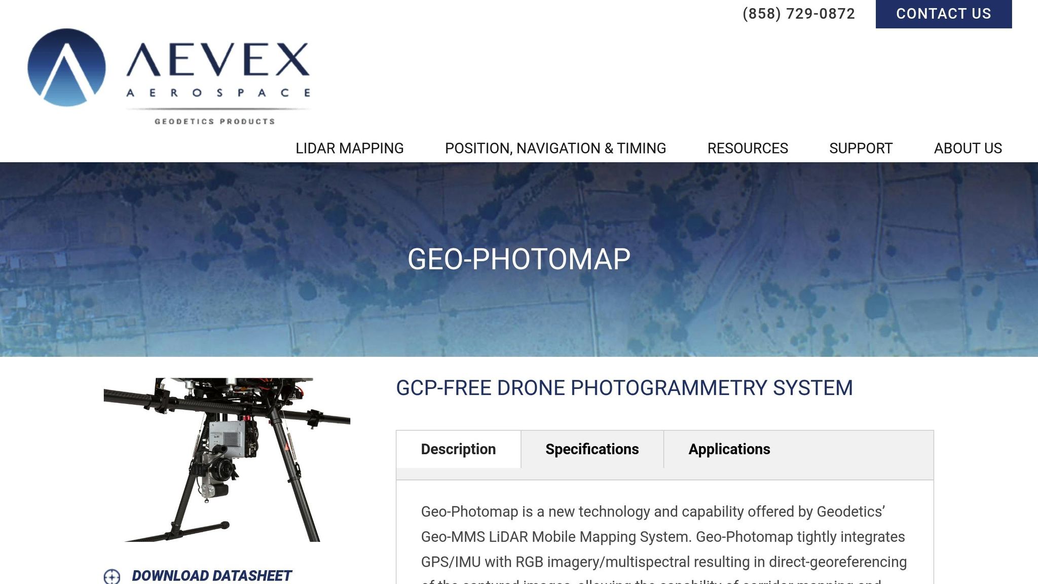
The Geo-Photomap system takes a different approach compared to the Geo-MMS's LiDAR-enhanced setup. It’s a streamlined, camera-only photogrammetry solution designed for direct georeferencing. This setup eliminates the need for traditional ground control points while still maintaining the high precision associated with the Geo-MMS platform. Typically, it employs two 20 MP Sony a6000 cameras, focusing entirely on optical data to achieve accurate georeferencing.
Camera Count and Type
The system uses two cameras equipped with interchangeable lenses ranging from 10–50 mm focal lengths. A 10 mm wide-angle lens offers a 100° field of view, ideal for covering flat terrain efficiently. On the other hand, the 50 mm lens, with its narrower 25° field of view, is better suited for minimizing blind spots and reducing relief displacement in urban mapping scenarios.
Synchronization Method
To ensure precise data collection, the system integrates GNSS receivers with a MEMS IMU for real-time sensor fusion. Hardware triggering aligns the camera’s operation with GNSS and IMU data using global time. This synchronization is essential for maintaining positional and attitude accuracy during mapping.
Ground Sample Distance (GSD)
With the Sony a6000 sensors, the Geo-Photomap achieves a GSD of 1 cm/pixel at 50 meters above ground and 2 cm/pixel at 100 meters. This level of detail is more than double what standard rotary-wing systems like the DJI Phantom 4 RTK can produce (approximately 2.16 cm/pixel at 50 meters). The dual-camera setup also expands ground coverage per flight compared to single-camera systems.
Accuracy (Horizontal/Vertical)
Using RTK or PPK direct positioning, the system achieves accuracy levels of 1–3 times the GSD. For example, at an altitude of 80 meters with PPK processing, horizontal and vertical accuracies are approximately 2.3 cm and 2.4 cm, respectively. Additionally, vertical accuracy can be improved by up to 35% when multiple GNSS fixed base stations are used for differential corrections at flight altitudes between 70 and 90 meters.
3. Fixed-Wing Multi-Camera Setups (e.g., eBee with Canon IXUS)

Fixed-wing UAVs like the eBee stand out for their ability to cover extensive areas - 10–12 km² (3.9–4.6 mi²) per autonomous flight - far surpassing the range of multi-rotor drones. The eBee is a lightweight, hand-launched drone designed for fully autonomous operation. Earlier versions of this platform paired it with a dual-camera system featuring the Canon IXUS 127 HS, making it a go-to choice for tasks like agricultural surveys and environmental monitoring. This setup enhances photogrammetric capabilities with its wide coverage, complementing other dual-camera configurations.
Camera Count and Type
This system typically uses two Canon IXUS 127 HS cameras, each equipped with a 16.1 MP 1/2.3-inch CMOS sensor. One camera captures standard RGB imagery, while the other is modified with a special filter to collect near-infrared (NIR) or Red-Edge data. This combination enables simultaneous capture of RGB and multispectral data, which is crucial for analyzing vegetation health and other land features.
Synchronization Method
The cameras are triggered simultaneously by the eBee's onboard autopilot system via USB. This process uses either the Canon Hack Development Kit (CHDK) or custom senseFly firmware scripts. The synchronization ensures accurate time stamping, which is critical for precise aerial positioning and creating high-quality orthomosaics. With this embedded system, the need for manual ground control points (GCPs) is reduced, improving field efficiency and workflow.
Ground Sample Distance (GSD)
Flying at 400 ft (120 m) above ground level, the Canon IXUS 127 HS delivers a ground sample distance (GSD) of 3.8–5 cm. While this resolution is not survey-grade, it is sufficient for broad mapping applications. The fixed-wing design offsets the coarser resolution by allowing the drone to cover much larger areas in a single flight compared to rotary-wing drones.
Accuracy (Horizontal/Vertical)
When equipped with RTK/PPK, the eBee X achieves horizontal and vertical accuracies of 1.5 cm. Without these enhancements, accuracy falls within the range of 1–5 m when relying on standard GNSS and GCPs. The platform’s consistent flight speed and altitude contribute to reliable georeferencing. These features make fixed-wing setups a dependable option for large-scale mapping projects, further highlighting their compatibility with dual-camera systems.
4. Multi-Rotor Multi-Camera Setups (e.g., Phantom 4 Pro with FC 6310)

Multi-rotor drones like the DJI Phantom 4 Pro are known for their excellent maneuverability and ability to hover with stability, making them ideal for detailed photogrammetry in tight or confined spaces. This flexibility opens up possibilities for advanced multi-camera setups. The drone is equipped with the FC 6310 camera, which boasts a 1-inch CMOS sensor and 20 MP resolution. While the standard configuration includes a single camera, the Phantom 4 Pro is often adapted for multi-rotor arrays or outfitted with additional sensors, such as Green-Red-NIR (G-R-NIR) 3-band cameras, to support advanced remote sensing tasks. This adaptability makes it a go-to choice for projects requiring both RGB and multispectral data collection.
Camera Count and Type
The FC 6310 camera features a 1-inch sensor, which is about four times larger than the 1/2.3-inch sensors found in earlier drone models. This larger sensor improves image quality, particularly in challenging lighting conditions, and supports ISO settings from 100 to 12,800 in manual mode. The camera captures high-resolution images at 5472 × 3648 pixels and is equipped with an 8.8 mm lens (24 mm equivalent in 35mm format) with an adjustable aperture ranging from f/2.8 to f/11. For multi-camera setups, modified versions of the camera - priced at $1,322.50 each - allow simultaneous image capture across various spectral bands.
Synchronization Method
The FC 6310 uses a mechanical shutter with speeds from 8 to 1/2000 seconds, a feature specifically designed to eliminate rolling shutter distortion during high-speed flights. This mechanical shutter is crucial for maintaining the accuracy of photogrammetric data, as it ensures sharp images even during rapid movements. Additionally, the camera includes an electronic shutter that can reach speeds of up to 1/8000 seconds, which is automatically engaged during burst shooting or when speeds exceed 1/2000 seconds. A 3-axis gimbal (controlling pitch, roll, and yaw) further stabilizes the camera, delivering consistently high-quality images throughout the flight. Unlike fixed-wing drones, the Phantom 4 Pro's agility and stabilization make it well-suited for detailed mapping of specific areas, complementing the broader coverage provided by fixed-wing systems with dual cameras.
Ground Sample Distance (GSD)
With an 8.8 mm lens and a 20 MP sensor, the FC 6310 achieves an impressive ground sample distance (GSD) of just 1.1 mm at low altitudes. This level of detail is ideal for precision mapping and conducting detailed inspections.
Accuracy (Horizontal/Vertical)
The Phantom 4 Pro's dual-mode positioning system delivers horizontal accuracy of ±0.3 m and vertical accuracy of ±0.1 m when using Vision Positioning. With standard GPS, these figures shift to ±1.5 m horizontally and ±0.5 m vertically. The drone offers a maximum flight time of roughly 30 minutes under optimal conditions, enabling comprehensive coverage of smaller sites. For even greater precision, users can activate Tripod Mode, which reduces the drone's maximum speed and enables obstacle detection on all four sides. This mode allows for fine-tuned positioning adjustments, making it especially useful during data collection. Such precision highlights the value of multi-rotor systems as an essential tool for UAV photogrammetry projects.
Advantages and Disadvantages
Choosing the right photogrammetry system often comes down to weighing the benefits and challenges of multi-camera setups. These systems offer some impressive advantages, but they also come with trade-offs that can influence your decision.
One major benefit is coverage efficiency. By combining nadir and oblique cameras, multi-camera systems expand the Field of View (FOV) and cover more ground in a single flight. This reduces the number of flight lines needed and shortens overall imaging time, which can significantly cut costs for large-area surveys. However, there's a catch: oblique cameras often produce frames with varying Ground Sampling Distance (GSD), which can complicate data consistency. On the bright side, these systems also boost 3D modeling capabilities.
When it comes to 3D modeling, multi-camera setups outperform single-camera configurations. They capture not just the horizontal surfaces but also vertical elements like building facades and footprints. This makes them indispensable for urban mapping and infrastructure projects where understanding vertical structures is just as important as mapping the ground.
Despite these advantages, cost and reliability remain challenges. Multi-camera systems can achieve centimeter-level resolution and accuracy using affordable cameras and advanced computer vision techniques, making them a cost-effective alternative to traditional aerial photogrammetry. However, reliability is a concern. Drones have a failure rate of about 1 per 1,000 flight hours, which is significantly higher than commercial aviation's 1 per 100,000 flight hours. As Enrico Petritoli, Fabio Leccese, and Lorenzo Ciani explain:
"The commercial aviation failure rate is about 1/10^5 flight hours, while for drones, it has been verified at about 1/10^3 flight hours, so a higher magnitude of two orders".
Another hurdle is calibration and data management. Multi-camera configurations demand precise calibration of Interior Orientation Parameters (IOPs) for each camera and Relative Orientation Parameters (ROPs) to define their spatial relationships. Additionally, the increased data volume requires careful management to ensure accurate block triangulation. Without proper post-processing, such as mosaicking images into a single virtual image, these systems can also lead to more flight lines and a higher number of images to process.
Conclusion
Selecting the right multi-camera system depends on the specific needs of your project. For LiDAR applications, the Geodetics Point&Pixel system stands out. Its dual-camera setup is tailored to match the scanning swaths of LiDAR, making it an excellent choice for producing high-quality, colorized point clouds. On the other hand, if survey-grade mapping with a focus on absolute accuracy is your goal, the Geodetics Geo-Photomap system is ideal. Its direct georeferencing capabilities minimize the need for ground control points, saving time and effort.
For large-scale surveys - like agricultural mapping or corridor projects - fixed-wing systems such as the eBee offer extended flight times and broad coverage, making them efficient for mapping vast areas. In contrast, multi-rotor drones like the Phantom 4 Pro are better suited for urban environments and infrastructure inspections. Their agility and ability to capture oblique imagery make them perfect for vertical surfaces and detailed 3D modeling.
Multi-camera systems bring significant advantages by providing redundant viewpoints, which enhance image block geometry. This redundancy improves the stability and accuracy of final outputs compared to single-camera systems. However, managing the larger data volumes these systems produce requires efficient tools and workflows.
Once data is captured, organizing and sharing large datasets - such as orthomosaics, LiDAR point clouds, and 3D models - is crucial. Anvil Labs offers a robust platform designed for hosting and managing these complex datasets. With features like secure sharing and cross-device accessibility, their platform simplifies the workflow from data processing to visualization. This enables seamless collaboration among stakeholders and helps transform raw data into actionable insights, ensuring the success of multi-camera UAV photogrammetry projects.
FAQs
Do I still need ground control points with RTK/PPK multi-camera mapping?
When it comes to large-scale topographic mapping with RTK/PPK-enabled UAV photogrammetry, ground control points (GCPs) aren't always a must-have for achieving accurate results. In many cases, high-precision georeferencing can be accomplished using just the onboard GNSS RTK system. Whether or not GCPs are necessary often depends on the specific size of the survey and the required level of accuracy. Sometimes, combining onboard RTK with GCPs can provide an extra layer of precision, but it’s not always essential.
How do I choose between fixed-wing and multi-rotor for my project?
When deciding between UAV types, it boils down to your specific mapping needs and limitations. Fixed-wing UAVs are perfect for covering large areas quickly, thanks to their extended flight times and faster speeds. However, they require more room for takeoff and landing, which could be a challenge in tighter spaces. On the other hand, multi-rotor UAVs excel in smaller, detailed projects. They offer greater maneuverability and are easier to operate in confined or complex environments. Think about the scale of your project, the nature of the terrain, and logistical factors to determine which option aligns with your objectives.
What calibration steps matter most in a multi-camera UAV setup?
To get precise measurements and dependable photogrammetry results with a multi-camera UAV setup, follow these essential steps:
- Calibrate each camera's interior orientation parameters: This involves determining the internal characteristics of each camera, like focal length and lens distortion, to ensure accurate image capture.
- Estimate the system's mounting and exterior orientation parameters: This step aligns the cameras' positions and orientations relative to the UAV to maintain consistency and accuracy during operation.
- Perform bundle adjustment or self-calibration: This process refines the overall system geometry and corrects any lens distortions, ensuring all cameras work together seamlessly.
These steps are critical for achieving precise and reliable data collection with a multi-camera UAV system.
