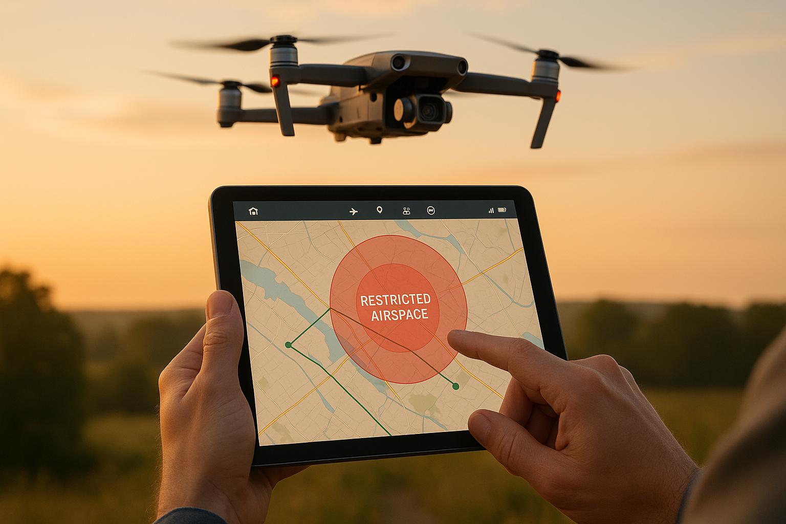
Flying drones in restricted airspace requires strict planning and adherence to FAA rules. Here's what you need to know:
- Understand Airspace Rules: Restricted zones like Class B (major airports), Class C (moderate airports), and Class D (smaller airports) require FAA authorization. Temporary Flight Restrictions (TFRs) and permanent restricted areas also impose limits.
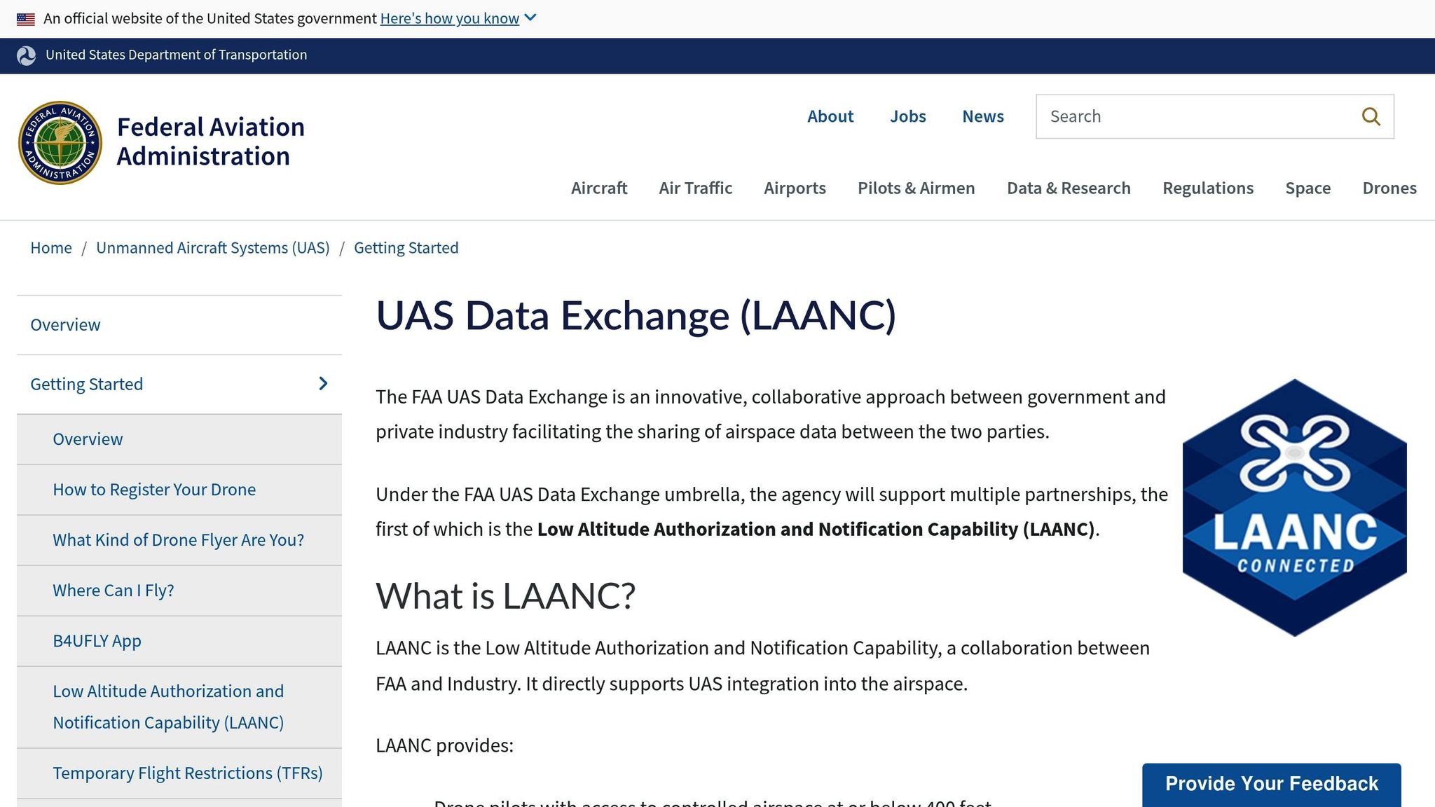
- Secure FAA Authorization: Use tools like LAANC for quick approvals in controlled airspace. For areas not covered, apply through the FAA’s DroneZone portal, which can take up to 90 days.
- Check TFRs and NOTAMs: Always monitor real-time updates on flight restrictions to avoid penalties or disruptions.
- Plan Your Flight Path: Conduct pre-flight mapping to identify hazards like power lines and terrain. Design efficient routes within altitude and safety limits.
- Leverage Technology: Use apps like B4UFLY, Airmap, or DJI FlySafe to simplify compliance. Platforms like Anvil Labs help manage data securely while meeting regulatory requirements.
Non-compliance can result in heavy fines, legal action, and safety risks. By carefully planning and using the right tools, you can ensure safe and legal drone operations in restricted zones.
LAANC Made Easy: Getting Drone Airspace Authorization
Understanding Restricted Airspace and Its Rules
Restricted airspace exists to safeguard critical infrastructure, public safety, and national security by limiting drone access near sensitive areas. The Federal Aviation Administration (FAA) has designated these zones to reduce risks to people, property, and national security from unauthorized drone activity.
In the U.S., airspace is divided into categories, each with specific altitude limits and authorization requirements. National security concerns lead to restrictions around military bases and government facilities, while protections for wildlife and natural areas often result in limitations over national parks and refuges.
Types of Restricted Airspace
Drone operators frequently encounter controlled airspace restrictions. Here's a breakdown of the main types:
- Class B Airspace: Found around major airports, this airspace typically extends up to 10,000 feet above sea level. Operating drones here requires explicit FAA authorization.
- Class C Airspace: Surrounding moderately busy airports with control towers, this airspace usually extends to about 4,000 feet above the airport's elevation. While less restrictive than Class B, operations here still demand prior FAA approval and coordination with air traffic control.
- Class D Airspace: Covering smaller airports with active control towers, these zones generally extend to approximately 2,500 feet above the airport's elevation. Drone operators must communicate directly with local airport authorities to gain access.
In addition to these controlled airspace categories, there are other types of restricted zones:
- Temporary Flight Restrictions (TFRs): These are short-term no-fly zones established for events like presidential visits, major sports events, emergency operations, or wildfire suppression. TFRs can range from a few miles to several hundred square miles.
- Permanent Restricted Areas: These include zones around military operations, national security sites, and sensitive government facilities. For example, airspace near landmarks like the White House or major military bases often has strict horizontal and vertical restrictions.
- Special Use Airspace: These areas are reserved for specific activities like military training, artillery testing, or space operations. Drone flights in these zones may face additional limitations or outright bans.
Understanding these classifications is crucial for avoiding the consequences of unauthorized drone operations.
Penalties for Unauthorized Flights
Flying a drone in restricted airspace without proper authorization can lead to serious penalties. The FAA may issue hefty fines, and in some cases, criminal charges, especially if the violation disrupts critical airspace near airports or government facilities. Severe infractions can even result in the suspension or revocation of pilot certificates, effectively grounding commercial drone operators.
Enforcement isn't limited to the FAA. If a drone causes property damage, personal injury, or interferes with manned aircraft, operators could face civil lawsuits and additional liability. Insurance policies often exclude coverage for activities that break airspace regulations, leaving operators financially exposed to damages.
The risks go beyond financial penalties. Unauthorized drone flights near airports, for instance, have caused runway closures, flight delays, and emergency response efforts - disruptions that can be costly and dangerous. These incidents highlight the critical need to follow airspace restrictions to ensure the safety of both manned and unmanned aircraft.
Regulatory Requirements and Authorization Steps
Operating drones in restricted zones requires strict adherence to federal regulations and obtaining the proper permissions. The FAA has laid out specific rules for commercial drone operations, particularly in controlled airspace. Knowing these regulations and following the correct steps for authorization isn’t just about staying legal - it’s about ensuring safe and responsible drone use.
FAA Part 107 Rules and Airspace Classes
The FAA Part 107 regulations are the cornerstone of commercial drone operations in the U.S. These rules set clear limits: drones must stay below 400 feet above ground level (AGL), remain within the visual line-of-sight, and operate only during daylight hours unless a waiver is granted.
To legally fly under Part 107, operators need a Remote Pilot Certificate. This certification requires passing the FAA’s aeronautical knowledge test, which covers topics like airspace classes, weather conditions, emergency protocols, and federal aviation rules. The certificate is valid for 24 months, after which operators must complete recurrent training or retake the test to renew.
Airspace classifications play a critical role in determining whether additional authorization is needed:
- Class G airspace is uncontrolled and typically extends from the surface to 1,200 feet AGL. Drone operations here face minimal restrictions.
- Class E airspace, starting where Class G ends (usually at 1,200 feet AGL), doesn’t typically require prior authorization for flights below 400 feet. However, pilots must still follow Part 107 rules and avoid interfering with manned aircraft.
Controlled airspace, including Class B, C, and D, requires explicit FAA authorization before drone operations can begin. The process for obtaining this authorization depends on whether the airspace is part of the Low Altitude Authorization and Notification Capability (LAANC) system.
Getting Airspace Authorization
Once you understand the regulatory framework, the next step is to secure airspace authorization. The LAANC system has streamlined this process, offering near-instant approvals for operations in controlled airspace. By directly connecting drone operators to air traffic control, LAANC has turned what used to take weeks into something that can often be resolved in minutes.
Currently, LAANC covers over 700 airports across the U.S., with new locations added regularly. Using UAS Facility Maps, operators can check altitude limits for specific zones near airports. These maps indicate the maximum allowable altitudes, which can range from 0 feet (no authorization) to 400 feet, depending on proximity to runways and flight paths.
To use LAANC, operators must go through an FAA-approved service provider like AirMap, Aloft, or KittyHawk. The process involves submitting details such as the flight location, altitude, duration, and pilot certification. Most requests are approved almost instantly, though some may require a manual review, which could take a few hours.
For areas not covered by LAANC, operators must use the FAA’s DroneZone portal to request manual authorization. This process is more detailed, requiring specific flight plans, safety assessments, and operational procedures. Manual requests can take up to 90 days or more, so planning ahead is critical.
If an operation exceeds standard Part 107 limits - for example, flying beyond the visual line-of-sight or over people - a Part 107 waiver is necessary. These waivers require comprehensive safety documentation and can take between 90 and 120 days for FAA approval.
Checking TFRs and NOTAMs
Staying informed about Temporary Flight Restrictions (TFRs) and Notices to Airmen (NOTAMs) is crucial for safe and compliant drone operations. These notices provide real-time updates on changes to airspace availability, which can occur with little warning.
TFRs are often issued for events like presidential movements, large public gatherings, emergency response operations, or wildfire suppression. For instance, major sporting events such as the Super Bowl can create TFRs covering a one nautical mile radius around stadiums, with altitude restrictions up to 3,000 feet AGL.
Similarly, NOTAMs offer updates on temporary changes such as runway closures, equipment outages, or special air traffic procedures. These notices are issued by the FAA System Operations Center and can impact drone flight plans. Operators can check active TFRs and NOTAMs through the Federal NOTAM Search website or flight planning apps that integrate this data.
Emergency TFRs, such as those for wildfire suppression, present unique challenges. These restrictions can be issued within hours of fire detection, creating immediate no-fly zones. Continuous monitoring is essential, particularly during wildfire season or severe weather events.
Violating TFRs can have serious consequences. Unauthorized drone flights in restricted areas can delay firefighting efforts, ground medical helicopters, or disrupt search and rescue missions. Such violations often lead to swift enforcement actions and hefty penalties from federal authorities.
Planning Flight Paths in Restricted Zones
When it comes to flying drones in restricted areas, planning the flight path is where the real work begins. It’s all about finding the sweet spot between following the rules and getting the job done efficiently. A well-thought-out plan not only keeps operations compliant but also helps avoid unnecessary delays or potential violations. The secret? A systematic approach that identifies risks while ensuring data collection stays within approved limits.
Mapping and Identifying Hazards
Safety starts with pre-flight mapping. This step is crucial for spotting both ground and aerial hazards that could interfere with operations.
Begin by conducting a detailed site survey using sectional charts and satellite images. Look for ground hazards like power lines, cell towers, construction cranes, and tall buildings - some of which might not show up on standard aviation charts. Power lines, in particular, are tricky because they’re often hard to see from the air and can stretch beyond their marked locations.
Pay close attention to terrain features such as hills, valleys, and elevation changes. These can impact wind patterns, signal strength, and GPS accuracy.
Local weather conditions also play a big role. Factors like heat islands, coastal winds, or turbulence near industrial areas can affect flight stability.
Don’t overlook electromagnetic interference from sources like radio towers, radar systems, or high-voltage power lines. These can disrupt communication and navigation.
Once hazards are identified, document their GPS coordinates and establish buffer zones - for example, keeping at least 100 feet away from power lines or 200 feet from radio towers. With all hazards mapped out, you can shift focus to crafting efficient flight routes that meet these constraints.
Maximizing Coverage and Flight Efficiency
Designing efficient flight paths in restricted zones is about working smarter, not harder. The aim is to gather as much data as possible while staying within the rules and keeping flight time to a minimum. This reduces both costs and the chances of regulatory issues.
Break down grid patterns into smaller segments that align with altitude limits and avoid no-fly zones.
Adjust flight altitudes based on the restrictions of each zone, making sure to stay compliant as you approach tighter limits.
Factor in wind direction to save energy and set waypoints with the right image overlap - typically 80% forward and 60% side overlap for effective data capture.
Plan for safe landing zones and include alternate routes in case of unexpected issues. Always maintain a battery reserve of at least 25%, and remember that cold weather (below 40°F) can cut battery capacity by up to 30%.
Finally, schedule flights during off-peak hours to avoid congestion and take advantage of better weather conditions. These small adjustments can make a big difference in the success of your mission.
sbb-itb-ac6e058
Using Technology for Compliance and Data Management
Building on the foundation of efficient flight planning, cutting-edge technology is now simplifying compliance and data management for drone operations. Managing flights in restricted zones comes with complex regulations, but advanced tools ensure adherence to these rules while extracting maximum value from the data collected. The right digital solutions can turn raw aerial footage into actionable insights, all while maintaining strict controls over access to sensitive airspace.
Digital Twin and Photogrammetry Solutions
The creation of digital twins using drone-collected data has become a game-changer for operations in restricted zones, especially around critical infrastructure and industrial facilities. These virtual models provide detailed replicas of physical assets, reducing the need for repeated flights into sensitive areas.
Photogrammetry, which involves capturing overlapping images during a single authorized flight, produces detailed 3D models. This approach maximizes data collection while limiting exposure to restricted zones.
For infrastructure inspections, integrating thermal imagery is essential. By combining visual and thermal data, digital twins can reveal both structural features and thermal patterns - key for identifying potential issues in facilities like power plants or refineries.
When paired with LiDAR point cloud data, photogrammetry delivers highly accurate models that are indispensable for compliance documentation. These advanced modeling techniques integrate seamlessly with secure data management platforms, ensuring both precision and security.
Anvil Labs for Secure Data Management
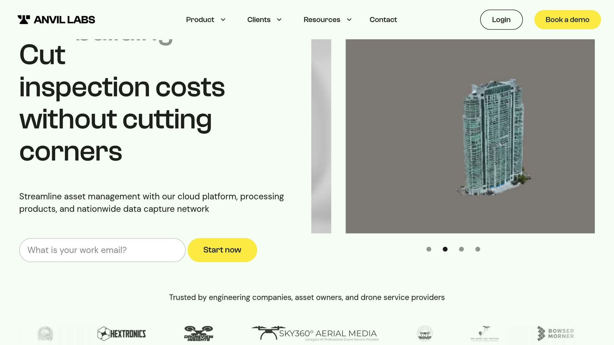
Handling drone data from restricted zones demands strong security protocols and efficient workflows. Just as detailed flight path planning is critical, so is the need for robust data management in these sensitive areas. Anvil Labs offers a comprehensive platform designed to process and secure drone-captured data while maintaining the strict access controls required for restricted airspace operations.
The platform converts drone footage into detailed 3D models and actionable insights in as little as 72 hours, supporting over 20 deliverable formats. This fast turnaround is crucial for time-sensitive projects where delays could disrupt timelines or regulatory compliance.
Security is at the forefront of Anvil Labs’ design. The platform employs end-to-end encryption (AES-256 for data at rest and TLS 1.2+ for data in transit) and role-based access controls (RBAC), allowing administrators to determine who can view, edit, or share sensitive information. For additional protection, shared data can be password-protected, ensuring secure collaboration with regulatory agencies or stakeholders.
"At Anvil Labs, we take security seriously. Your data is protected with: End-to-End Encryption (AES-256 at rest, TLS 1.2+ in transit) Strict Access Controls (RBAC with admin, editor, and viewer roles) SOC 2 & ISO 27001 Compliance (In progress, working with Okta & Stripe) AWS Hosting"
The platform also includes automated compliance checks, helping operators stay within regulatory guidelines throughout the data management process. Its cross-device accessibility means stakeholders can review and analyze data from anywhere, reducing the need for multiple site visits to restricted areas. This feature has proven invaluable for professionals like Connor Barnes from Leading Edge Environmental and Emergency Services, who shared:
"I had a meeting yesterday with my clients and they really liked the panoramas. The tech here saves me from complex alternative platforms. The per project pricing makes it easy for me to bill customers. It's too arbitrary to predict the cost to customer with Agisoft or Pix4D's cloud costs."
Anvil Labs also provides integrated measurement and annotation tools, enabling teams to highlight specific areas of interest and add context directly within the secure platform. This functionality enhances detailed analysis and reporting without compromising data security.
These tools not only streamline inspections but also improve defect detection and reduce costs. According to Anvil Labs' performance metrics, users typically complete inspections 75% faster, identify 30% more defects, and save potentially hundreds of thousands of dollars in operational expenses.
Tools and Resources for Flight Planning and Compliance
Picking the right tools can make all the difference when it comes to smooth flight operations and staying on the right side of regulations. Flying drones in restricted zones demands a mix of technologies that cover everything from planning your route to monitoring airspace in real-time and managing data afterward. These tools take traditional planning methods and enhance them for a seamless compliance process.
Key Apps and Platforms for Compliance
Building on earlier discussions about FAA protocols and LAANC, these tools simplify the operational workflow.
B4UFLY is the FAA’s official app for checking airspace restrictions and requirements. It delivers real-time updates on temporary flight restrictions (TFRs) and helps pilots determine if their planned flight location requires authorization. While it’s a straightforward tool, it’s the go-to for up-to-date airspace information and should always be your first stop in flight planning.
LAANC-enabled apps like Airmap, Skyward, and Kittyhawk connect directly to the FAA’s Low Altitude Authorization and Notification Capability system. These platforms provide near-instant approvals for flights in controlled airspace, cutting down the process from weeks (as with manual Part 107 waivers) to just minutes.
DJI FlySafe is specifically designed for DJI aircraft, offering real-time geofencing and airspace awareness. It automatically updates restriction zones and can stop takeoff in prohibited areas. For commercial operators using DJI Enterprise equipment, FlySafe also allows unlocking for authorized flights, all while keeping safety measures intact.
Flight automation software like Dronelink streamlines pre-planned autonomous missions by incorporating no-fly zone management directly into mission planning. This ensures that automated flights stay within authorized boundaries - especially useful for complex tasks like vertical mapping or inspections near sensitive infrastructure.
For operations demanding extreme precision, DJI Enterprise drones with Real Time Kinematics (RTK) deliver inch-level accuracy. This level of precision is critical when flying near sensitive areas, where even slight deviations from approved flight paths could raise security concerns.
Comparison of Tools
Each platform brings something different to the table, and understanding their strengths helps operators choose the best combination for their needs.
| Platform | Primary Function | Authorization Speed | Key Strengths | Best Use Case |
|---|---|---|---|---|
| B4UFLY | Airspace checking | N/A | Official FAA source, free | Initial airspace assessment |
| Airmap | LAANC authorization | 1-5 minutes | Fast approvals, broad coverage | Standard controlled airspace flights |
| Skyward | LAANC + fleet management | 1-5 minutes | Enterprise features, reporting | Commercial operations with multiple drones |
| Kittyhawk | LAANC + compliance tracking | 1-5 minutes | Detailed logging, audit trails | Operations needing compliance documentation |
| DJI FlySafe | Real-time geofencing | Instant | Hardware integration, automatic updates | DJI aircraft operations |
| Dronelink | Automated flight planning | N/A | Mission automation, restriction mapping | Complex autonomous missions |
This table shows how each tool tackles specific compliance challenges, emphasizing the benefit of using multiple platforms. Professional operators often combine tools: starting with B4UFLY for airspace checks, using a LAANC-enabled app for quick authorizations, and relying on advanced flight planning software for mission execution. Together, they provide complete compliance coverage.
Many platforms now offer live updates on temporary restrictions, weather, and nearby aircraft activity, helping pilots make informed decisions during operations. By integrating these features, they reduce the need to juggle multiple sources while flying.
When flight planning tools work hand-in-hand with data management platforms, the result is a smooth workflow - from planning to delivering the final product. This integration ensures operators stay compliant throughout their projects while getting the most out of their authorized flights in restricted zones.
Conclusion: Best Practices for Drone Operations in Restricted Zones
Operating drones in restricted airspace demands thorough preparation, strict adherence to regulations, and the use of reliable technology.
Start with a solid understanding of the rules. Know the differences between controlled and uncontrolled airspace, when to rely on LAANC or manual waivers, and how to stay updated on NOTAMs. This foundational knowledge not only helps avoid costly penalties but also ensures smoother operations.
Compliance with FAA regulations isn’t optional - it’s essential. Violations come with hefty fines, so successful operators make compliance a routine part of their workflow. Treating authorization requests as standard practice, rather than a hurdle, sets the tone for consistent and efficient operations.
Technology plays a big role in simplifying compliance. Tools like LAANC-enabled apps, real-time geofencing, and automated flight planning turn regulatory requirements into manageable tasks. Pairing these tools with platforms like Anvil Labs ensures operators can maintain detailed audit trails while focusing on delivering top-notch results.
Choosing the right tools is just as important as pilot expertise. A layered approach - combining advanced tech with robust processes - helps ensure no critical detail is overlooked. This strategy is key to running safe, efficient, and professional drone operations.
As the drone industry continues to grow, sticking to proven protocols, leveraging advanced technology, and maintaining thorough documentation not only enhances safety but also elevates the professionalism of every flight. Each operation reinforces the industry’s dedication to safety, protects business interests, and builds trust in commercial drone use. By automating compliance processes, operators can focus on what truly matters: delivering results.
FAQs
How do I get FAA approval to fly a drone in restricted airspace?
If you want to fly a drone in restricted airspace, you'll need to get authorization from the FAA. This can be done through two main platforms: FAA DroneZone or LAANC (Low Altitude Authorization and Notification Capability). For areas near controlled airspace, like airports, you must request airspace authorization before taking off.
For manual approvals, use FAA DroneZone and submit your request at least 60 days ahead of your planned flight. If you're in an eligible area, LAANC can provide near-instant approvals. Be prepared with all the necessary details about your flight - such as location, altitude, and timing - to make the process as smooth as possible. And remember, you must wait for approval before flying in restricted zones.
How can drone pilots stay informed about flight restrictions and safety notices?
Drone pilots need to stay up-to-date on Temporary Flight Restrictions (TFRs) and Notices to Airmen (NOTAMs) to ensure safe and compliant operations. The FAA offers real-time updates on these restrictions, making it easier to plan flights that adhere to current regulations.
To make things even simpler, you can use aviation apps that pull data directly from the FAA. Many of these apps also offer alert subscriptions, so you’re always notified of changes. Before taking off, always double-check the latest NOTAMs and TFRs to avoid restricted areas and ensure your flight stays within the rules.
What tools can help plan drone flights in restricted airspace while ensuring compliance and data security?
To navigate drone flights in restricted airspace safely and efficiently, specialized tools for airspace management and flight planning are essential. Apps like Drone Assist and B4UFLY provide real-time updates on restricted zones and ensure you stay aligned with local regulations. These apps also let you submit flight plans and access live airspace data, making compliance much easier.
For more advanced needs, platforms such as UgCS and AutoPylot come packed with features like geofencing, compatibility with multiple systems, and support for a wide range of drone models. These tools help pilots steer clear of restricted areas while maintaining strong data security. By using these technologies, you can confidently manage the challenges of restricted airspace and conduct your flights both safely and within the rules.
