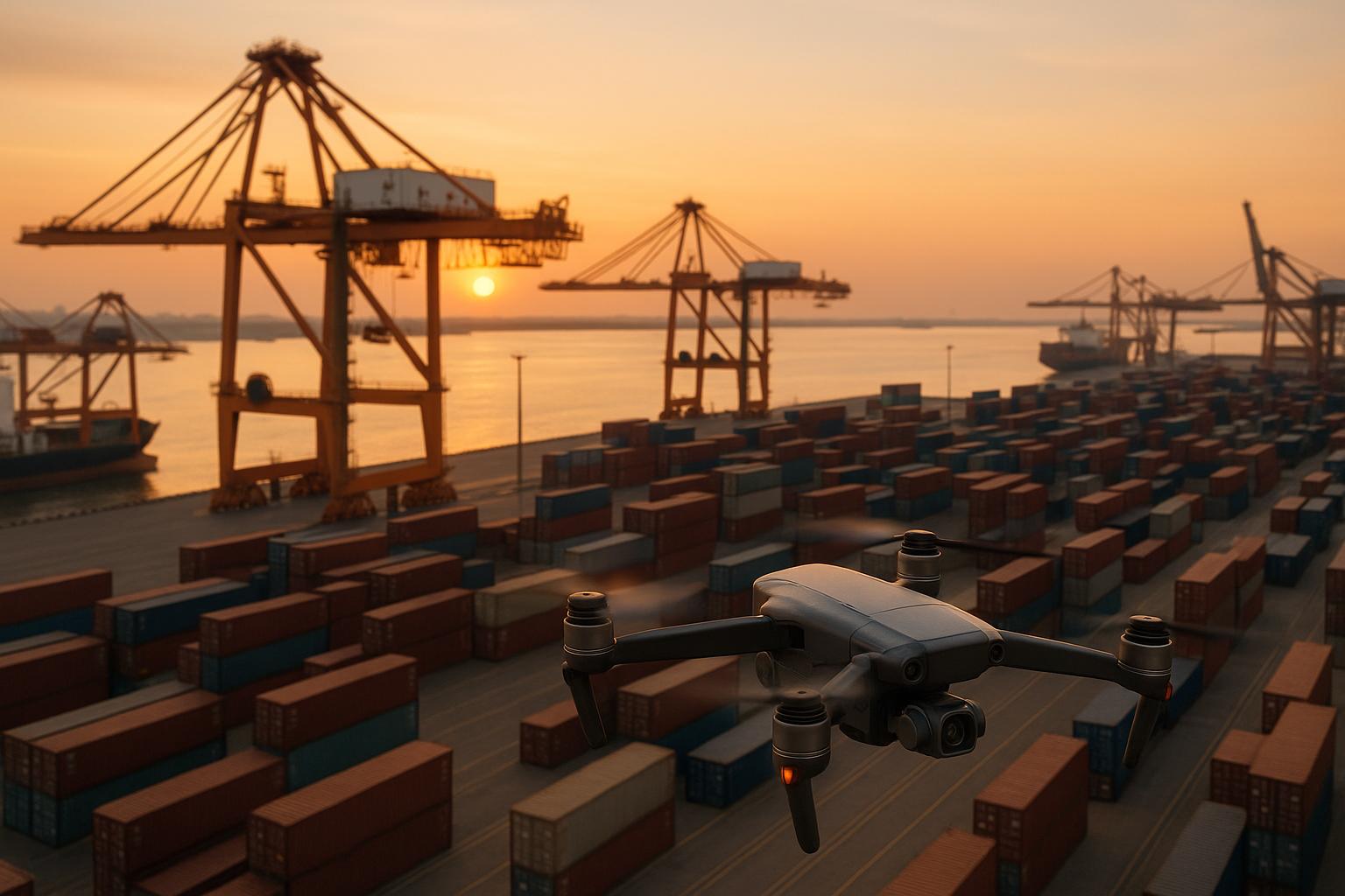
Drone photogrammetry is reshaping how ports monitor and maintain equipment. By using drones equipped with cameras and sensors, ports can generate precise 3D models and high-resolution maps to inspect cranes, conveyors, and other machinery without disrupting operations. This approach improves safety, reduces costs, and provides detailed data for better maintenance decisions.
Key highlights:
- Faster inspections: Drones reduce inspection time by up to 45%.
- Higher accuracy: Achieves 2–3 cm precision using advanced imaging and positioning tools.
- Cost savings: Cuts maintenance expenses by over 50%.
- Safety improvements: Minimizes risks by avoiding manual inspections in hazardous areas.
- AI integration: Enables predictive maintenance through automated defect detection and performance tracking.
Drones, combined with platforms like Anvil Labs, streamline data management, making it easier to store, analyze, and share findings. This technology is transforming port operations, ensuring equipment stays in top condition while reducing downtime and operational costs.
Core Technologies and Photogrammetric Processes
Drone Types and Sensor Equipment
When it comes to port equipment inspections, the type of drone you choose can make all the difference. Multirotor drones are the go-to choice in port environments. Why? Their ability to hover steadily around intricate structures like cranes and cargo handling equipment makes them perfect for capturing detailed close-up shots. This precision helps in identifying wear and tear on components, joints, or other critical areas that demand close scrutiny.
On the other hand, fixed-wing drones shine in large-scale surveys. They’re not built for hovering but excel at covering vast areas quickly. With longer flight times, they’re ideal for mapping entire port facilities or tracking changes across multiple pieces of equipment over time.
As for sensors, RGB cameras are the backbone of photogrammetric data collection. These high-resolution cameras capture overlapping images essential for creating detailed 3D models. LiDAR sensors work alongside RGB cameras, adding precise distance measurements to the mix. They’re particularly handy in tricky lighting conditions or when dealing with reflective metal surfaces common in port equipment.
Thermal sensors bring another layer of insight. By detecting heat signatures, they can uncover mechanical stress or electrical issues before they become visible. This makes them invaluable for monitoring motors, hydraulic systems, and electrical components on cranes and other heavy machinery. Together, these sensors lay the groundwork for a robust photogrammetric workflow.
Photogrammetric Workflow Steps
The photogrammetric process kicks off with flight planning, where operators meticulously map out flight paths, camera angles, and image overlap percentages. Modern software takes the guesswork out of this step, calculating optimal routes to ensure consistent coverage - typically aiming for 80% forward overlap and 60% side overlap. This level of precision is key to creating accurate 3D reconstructions.
Next comes data capture, where drones follow the pre-planned flight paths at a steady altitude and speed. During this phase, operators keep a close eye on image quality and GPS data to ensure everything meets technical standards. The drone’s onboard systems log precise location data for each shot, forming the basis for accurate georeferencing.
Georeferencing with ground control points (GCPs) is the next critical step. Surveyors place these specially designed markers at known locations before the flight. These markers are easily identifiable in the aerial images and serve as reference points, aligning the collected data with real-world coordinates. This step ensures that the final 3D model is both scaled and positioned correctly.
The final piece of the puzzle is 3D model generation. Using specialized software, the overlapping images are analyzed to find common features, calculate the 3D positions of visible points, and create dense point clouds, textured 3D meshes, and orthomosaic images. These outputs provide a detailed visual record of equipment conditions. To ensure accuracy, each step undergoes rigorous data validation.
Data Accuracy and Validation Methods
Achieving centimeter-level precision starts with integrating GNSS (Global Navigation Satellite System) technology throughout the data collection process. High-precision GPS receivers on both the drone and ground control points play a crucial role in ensuring accurate positioning.
To take accuracy a step further, real-time kinematic (RTK) positioning is often used. RTK corrects standard GPS signals in real-time, delivering precision within 1-2 inches. This level of detail is essential for tasks like measuring structural deformation, checking equipment alignment, or tracking subtle changes over time.
Validation doesn’t stop there. Operators compare photogrammetric measurements against known distances and control points scattered throughout the surveyed area. Distances between identifiable features in the 3D models are cross-checked with ground truth data collected through traditional surveying methods, ensuring the results hold up.
Quality control is another layer of assurance. Residual errors at ground control points are analyzed, and any distortions in the 3D model are flagged. Specialized software generates detailed accuracy reports, highlighting areas that may need additional data or fine-tuning. This ensures that the final deliverables meet the stringent accuracy standards required for engineering assessments and maintenance planning.
Applications in Port Equipment Monitoring
Cargo Handling Equipment Inspection
Container cranes are a prime example of how drone photogrammetry is transforming port inspections. Traditionally, inspecting these massive structures required elaborate setups and heavy equipment. Now, drones equipped with high-resolution cameras can capture detailed images from multiple angles, uncovering issues like stress fractures, loose bolts, or deformations in critical components such as crane rails, trolley systems, and hoist mechanisms.
For rubber-tired gantry cranes (RTGs), aerial surveys using drones provide highly accurate 3D models. These models help detect problems like misaligned wheels, frame distortions, or wear in hydraulic systems. By comparing models taken at different times, maintenance teams can monitor wear patterns and address potential failures before they disrupt operations.
Conveyor systems, with their long, continuous layouts, pose unique challenges for traditional monitoring methods. Drones simplify this process by mapping entire conveyor networks in a single flight. They capture details like belt condition, roller alignment, and the integrity of support structures. The resulting orthomosaic images offer maintenance teams a complete and detailed view that’s hard to achieve with ground-based inspections.
For mobile harbor cranes and reach stackers, drones focus on key areas such as boom extensions, hydraulic cylinders, and chassis components. The 3D models generated provide precise measurements and can detect subtle changes in geometry that might indicate mechanical issues. These detailed inspections integrate seamlessly with digital twin platforms, ensuring continuous monitoring and performance tracking.
Digital Twin Integration and Real-Time Monitoring
Digital twin platforms bring a new level of efficiency to equipment monitoring by combining inspection data, maintenance logs, and performance metrics into a single system. When new photogrammetric surveys are conducted, updated 3D models are automatically compared to baseline conditions. This allows for quick identification of problem areas, highlighted through easy-to-understand visualizations.
In some cases, preliminary 3D models can even be generated on-site, enabling immediate evaluation of urgent issues. This capability proves invaluable during both routine checks and emergency inspections.
Performance dashboards further enhance monitoring by merging photogrammetric insights with operational data. From a single interface, managers can track factors like structural deflection, wear rates, and alignment. This allows resources to be allocated based on the actual condition of equipment, rather than sticking to rigid maintenance schedules. Port operations have seen measurable benefits from such integrations, as illustrated in the case studies below.
Case Studies and Performance Results
Case studies demonstrate how these advanced inspection methods significantly improve port equipment maintenance. One major advantage is the ability to gather detailed condition data without disrupting operations - a critical factor in high-traffic ports where downtime can lead to revenue losses.
Drone surveys also reduce inspection costs by minimizing labor requirements and eliminating the need for specialized equipment. Their efficiency enables more frequent inspections, which helps catch issues early, preventing small problems from turning into costly repairs.
The quality of documentation has also seen a boost. High-resolution images and detailed 3D models not only improve maintenance records but also support compliance with regulatory standards. These records are invaluable for warranty claims, insurance evaluations, and regulatory reporting, offering long-term benefits that go beyond immediate maintenance needs.
Challenges
Technical and Operational Challenges
Even with the progress in drone photogrammetry, some hurdles remain.
Weather conditions can significantly impact drone operations in port environments. Factors like strong winds, rain, fog, or storms can destabilize drones and delay data collection efforts. On top of that, the maritime environment presents its own set of difficulties, such as harsh conditions and the risk of electromagnetic interference, which can disrupt communication and navigation systems. These issues often force port operators to turn to backup inspection methods, slowing down overall operations and reducing efficiency.
Battery life is another limiting factor. Many commercial drones can only stay airborne for 15 to 30 minutes per flight, meaning multiple battery swaps are necessary to survey large port areas. The frequent need to land and recharge or replace batteries adds to the total time required for inspections.
Regulatory compliance makes operations more complex. Drone operators must navigate civil aviation regulations, which involve registering drones, obtaining permits, and ensuring pilots are certified. For ports near airports, additional restrictions, such as maintaining flight altitudes below 400 feet and coordinating with air traffic control, can further complicate and delay inspections, especially those that are time-sensitive.
Data processing also poses challenges. Photogrammetric surveys generate enormous amounts of data, requiring advanced software and specialized knowledge to create usable 3D models. This process can be time-intensive and often demands external expertise, adding to the operational burden.
Sensor limitations can affect the accuracy of collected data. Factors like sensor size, aperture, flight altitude, lens distortion, and bloom effects all influence the quality of the output. To ensure reliable results, operators need to carefully plan flights and select the right equipment, which adds another layer of complexity to the process.
sbb-itb-ac6e058
Data Management and Visualization Platforms
Data Hosting and Sharing Requirements
Drone photogrammetry in port environments generates massive amounts of data, which calls for dependable storage and collaboration tools. Surveys typically yield extensive imagery, 3D models, and sensor data that must be securely stored, processed, and shared with key stakeholders, including port operators and maintenance teams.
Security is a top priority for asset hosting. Platforms need to provide strong access controls, password protection, and encrypted storage to safeguard detailed equipment models and performance data from unauthorized access.
Equally important is scalable storage. Outputs from photogrammetry - such as high-resolution orthomosaics, dense point clouds, thermal images, and interactive 3D models - demand substantial capacity. Platforms also need integrated collaboration tools so distributed teams can work together in real time, review inspection results, and coordinate maintenance activities efficiently. This combination of secure and scalable storage sets the stage for platforms like Anvil Labs to thrive.
Anvil Labs Features for Port Operations
Anvil Labs addresses these data management challenges, offering a streamlined solution for managing drone-based 3D data, making it an ideal choice for port operations. The platform supports diverse data types collected by drones, including images, videos, 360° panoramas, thermal imagery, orthomosaics, LiDAR scans, and point clouds.
Uploading data is simple, thanks to an intuitive drag-and-drop system. Users can process raw drone data directly on the platform or import pre-processed models, allowing flexibility for different workflows and existing pipelines. To ensure sensitive port infrastructure data remains secure, the platform includes password protection for all stored files. Additionally, built-in tools enable users to add assets, identify defects, and take measurements without needing extra software or training.
Anvil Labs also features a per-project pricing model, providing a clear and predictable cost structure that helps port operators budget more effectively for drone inspection projects.
Integration and Cross-Device Access Benefits
Accessing data across devices is a must, and Anvil Labs delivers. The platform ensures that port equipment data and 3D models are accessible on any device, enabling field inspectors, managers, and remote specialists to analyze detailed information and collaborate in real time from anywhere.
The platform’s integration with AI analysis tools takes its functionality to the next level. Automated defect detection, predictive maintenance algorithms, and performance trend analysis help identify equipment issues early, reducing the risk of costly downtime or safety incidents.
Task management system integrations further enhance workflow efficiency. For example, when drone surveys detect equipment anomalies, the platform can automatically generate work orders, assign tasks to the right personnel, and track their progress - all within existing port management systems.
Professionals in the field recognize the competitive edge these visualization capabilities provide. Adrian, a drone service provider, shared:
"This is a differentiator. Those that aren't able to provide visualization but are just doing raw footage - this gives you, in my opinion, that competitive edge."
The financial benefits of adopting such a platform are clear. Angel Rojas from Red Angel Drones remarked:
"My overall experience with the software has been satisfying because of the efficient workflow. I would highly recommend other organizations to use your software simply because of how much value you get for what you pay for... The ROI is clearly marked within the first few uses."
For port operations, this rapid return on investment is crucial. Optimizing maintenance schedules not only extends the lifespan of equipment but also boosts overall operational efficiency. This integrated approach supports the continuous monitoring and maintenance improvements discussed earlier.
Conclusion and Key Takeaways
Main Benefits Summary
Drone photogrammetry has transformed port equipment monitoring by improving safety, reducing costs, and delivering more precise results. Unlike traditional manual inspections, which often require shutting down equipment and exposing workers to potential risks, drones can carry out surveys without interrupting operations.
One of the standout advantages is cost efficiency. Drone inspections drastically cut the time needed for assessments - from days to just hours - minimizing equipment downtime and the revenue losses that come with it. This efficiency also allows for more frequent inspections, enabling port operators to shift from reactive maintenance to predictive maintenance strategies. By anticipating issues early, operators can extend the lifespan of equipment and avoid expensive emergency repairs that could disrupt operations for long periods.
The level of detail and accuracy provided by drones far exceeds that of manual methods. High-resolution imagery, thermal data, and 3D models offer comprehensive documentation of equipment conditions, often revealing issues that human inspectors might overlook. These detailed records are invaluable for tracking wear and tear over time, helping operators make better-informed maintenance decisions.
Another game-changing feature is the integration of digital twin technology. This enables real-time monitoring and performance analysis by combining visual, thermal, and geometric data into a unified view. The result is a clearer understanding of equipment health, leading to smarter and faster decision-making.
These benefits make drone photogrammetry a powerful tool for modernizing port operations.
Implementation Steps
To fully realize the advantages of drone photogrammetry, start by evaluating your current inspection processes. Identify the equipment that would benefit most from drone-based monitoring - especially high-value assets like container cranes, ship-to-shore cranes, and bulk handling equipment, where downtime can be particularly costly.
Next, establish a solid data management system. Platforms like Anvil Labs offer secure, cross-device solutions with a per-project pricing model of $49, making it an affordable choice for managing inspection campaigns. Their platform supports a variety of data types - thermal imagery, LiDAR scans, and orthomosaics - ensuring compatibility with different drone sensors.
Training is key. Equip your teams to interpret 3D models and integrate drone data into your existing maintenance workflows. Anvil Labs' cross-device accessibility allows inspectors, managers, and remote specialists to collaborate seamlessly, accessing data in real time from virtually anywhere. Incorporate AI-driven tools and digital twin integration to automate processes like defect detection and work order generation.
Begin with smaller pilot projects targeting critical assets. This phased approach lets you fine-tune workflows, ensure data accuracy, and showcase results to stakeholders. The integration of AI tools and task management systems can help automate the transition from inspection to actionable maintenance tasks, streamlining operations even further.
Finally, track key metrics such as inspection time, maintenance costs, and equipment uptime. These benchmarks will not only validate the return on investment but also provide a roadmap for expanding the program across other areas of port operations. By demonstrating measurable success, you'll build a strong case for continued adoption and scaling of drone photogrammetry technology.
Port Crane Inspection with Drones & AI in cooperation with SGS
FAQs
How does drone photogrammetry enhance safety and efficiency in inspecting port equipment?
Drones equipped with photogrammetry technology enhance safety and efficiency by offering a fast, detailed way to survey large or hazardous areas - without putting workers in harm's way. By eliminating the need for personnel to venture into risky or hard-to-reach locations, they greatly lower the chances of workplace accidents.
On top of that, drones simplify inspections, often wrapping up tasks far quicker than traditional methods. The high-resolution data they gather helps with smarter maintenance planning, making it easier to spot potential problems early and make better decisions to keep equipment running smoothly.
What are the best drones and sensors for monitoring port equipment, and how do they improve performance analysis?
The most effective drones for monitoring port equipment are those that combine reliability with advanced imaging technology. Take the DJI Matrice 350 RTK, for example - this drone stands out in port inspections thanks to its exceptional stability, ability to carry multiple payloads, and capability to deliver sharp, high-resolution images. For detecting heat irregularities in pipelines or other infrastructure, thermal drones like the DJI Mavic 3T are invaluable.
In addition to drones, vibration sensors and IoT-enabled wireless systems play a crucial role in real-time monitoring of vital equipment such as cargo pumps and turbines. These tools allow operators to spot potential problems early, enhancing safety and keeping operations running smoothly. By integrating drones with these advanced sensors, port operators can collect essential data to improve equipment performance and minimize downtime.
How can ports use drone photogrammetry data to improve equipment maintenance and minimize downtime?
Ports can improve equipment maintenance and minimize downtime by incorporating drone photogrammetry data into their current maintenance systems. Tools like Anvil Labs make it easy to upload drone data directly, producing detailed 3D models and spatial analyses.
When this data is integrated with maintenance management systems, it supports predictive maintenance, real-time monitoring, and smarter decision-making. By spotting potential problems early, ports can keep equipment running smoothly, avoid expensive breakdowns, and boost overall efficiency.
