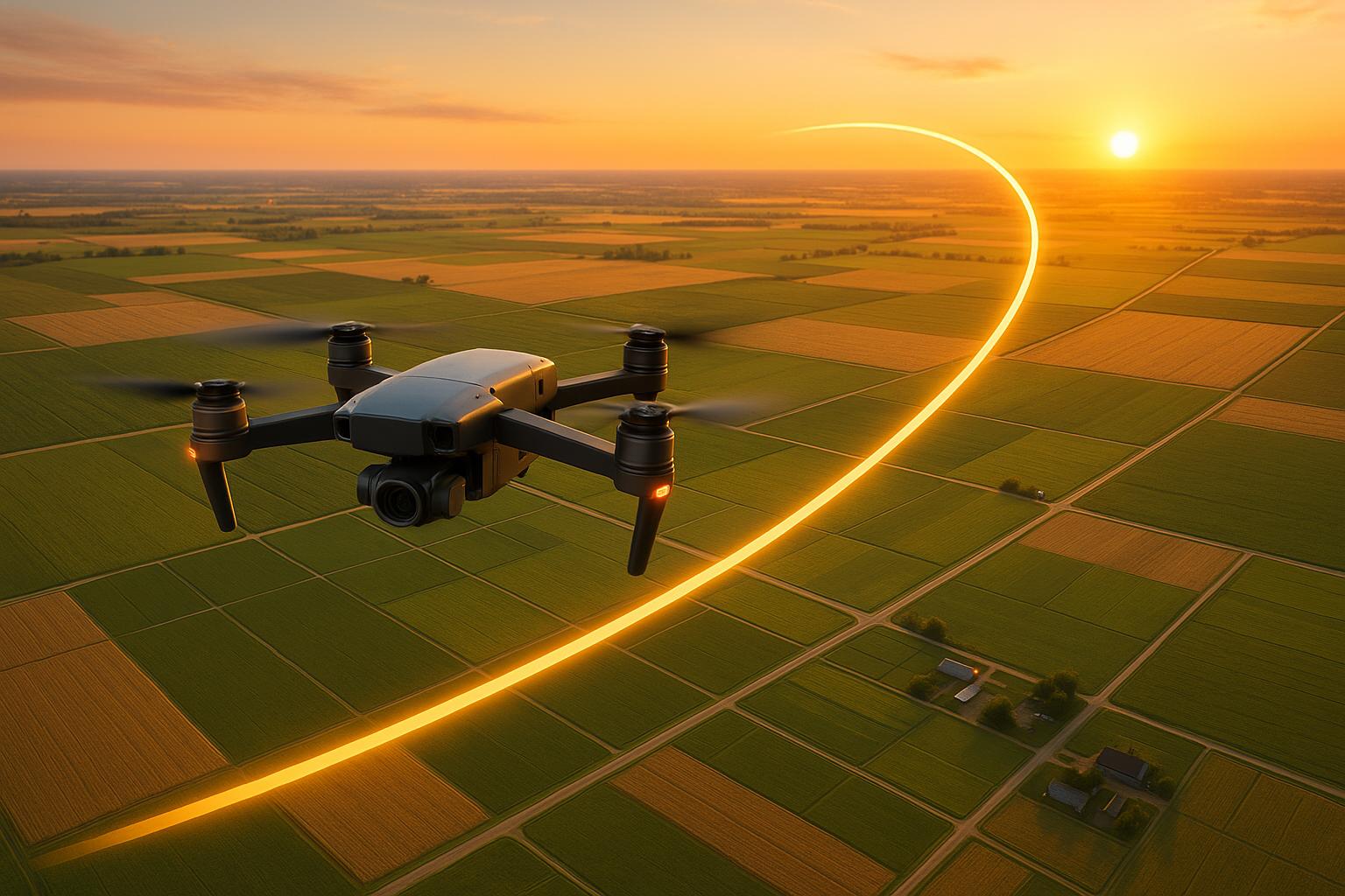
Route simulation is transforming photogrammetry by refining how drone flight paths are planned and tested. Unlike basic flight planning, it uses 3D modeling to predict challenges, optimize image overlap, and minimize errors before fieldwork begins. This approach ensures higher accuracy, reduces costs, and speeds up workflows. Key benefits include:
- Improved accuracy: Reduces GNSS errors by nearly 60%, achieving RMSE as low as 1.2 meters.
- Efficient workflows: Cuts inspection time by up to 75%.
- Better planning for complex areas: Models terrain, obstacles, and signal interference to avoid coverage gaps.
- Cost savings: Many teams recover their investment in route simulation tools within two months.
Tools like Anvil Labs leverage this data for detailed analysis, making route simulation an essential upgrade for demanding geospatial projects.
How to use an existing 3D model for drone flight planning? | Hammer Missions

1. Basic Flight Planning
Basic flight planning forms the backbone of photogrammetry, directly influencing the quality, precision, and efficiency of the data collected. A well-thought-out plan minimizes data gaps, reduces costs, and ensures accurate results. These initial decisions lay the groundwork for advanced techniques like route simulation, highlighting how essential basic planning is to the success of a project.
Data Accuracy
The accuracy of photogrammetric data starts with choosing the right flight pattern. For flat terrains, grid patterns work best, while double-grid patterns are ideal for capturing detailed 3D models of varied landscapes.
Ground control points (GCPs) are critical for achieving high levels of accuracy. Without them, drone positioning relies solely on its built-in GNSS, which has a typical accuracy of around 157.7 cm. This can be improved to approximately 21.7 cm using 3DEP LiDAR, and further refined to about 3.7 cm with total station surveys. To achieve this precision, deploy at least five GCPs per kilometer in a zigzag or offset pattern. This approach can drastically reduce positional errors, shrinking them from over a meter to just a few centimeters.
Workflow Efficiency
Good flight planning also optimizes timelines and resource use. Ensuring sufficient image overlap is key to fully covering the survey area without creating unnecessary redundancy. The choice of software during the planning stage plays a crucial role too. Photogrammetric software typically delivers root mean square error (RMSE) values of around 1.2 meters without GCPs. However, with careful planning and the integration of GCPs, these errors can be reduced to centimeter-level precision.
Error Reduction
Reducing errors during the planning phase is vital for reliable data. Identifying potential error sources early can make all the difference. For example, errors from a drone's GNSS receiver can be cut by nearly 60% through strategic planning and careful photogrammetric processing. Scheduling flights during favorable weather conditions and steering clear of areas prone to signal interference can further improve the quality of the data.
| Geo-Referencing Method | Typical Accuracy | Cost/Complexity |
|---|---|---|
| Drone GNSS only | ~157.7 cm | Low |
| 3DEP LiDAR | ~21.7 cm | Moderate |
| Total Station GCPs | ~3.7 cm | High |
The choice of geo-referencing method depends on the project's precision needs and budget. While a drone's built-in GNSS offers a simple and low-cost solution, projects requiring higher accuracy benefit greatly from incorporating additional control measures. These choices not only impact the final model's precision but also affect the complexity of field operations and data processing workflows. Solid planning at this stage is the foundation for the advanced route simulation techniques covered later.
2. Route Simulation Tools
Route simulation tools take flight planning to the next level by visualizing routes in 3D before any data collection begins. These systems simulate flight paths in three-dimensional space, factoring in terrain changes, obstacles, and other elements that could influence photogrammetry results. Below, we explore how these tools improve accuracy, streamline workflows, manage challenging environments, and cut down on errors.
Data Accuracy
Beyond basic flight planning, route simulation sharpens data collection by virtually testing flight setups in advance. Using the Structure for Motion (SfM) algorithm, these tools refine image geometry and reduce positioning errors by nearly 60% compared to raw GNSS data.
Simulations predict how flight patterns will affect data quality, consistently delivering low RMSE and minimizing GNSS-related errors. By testing configurations for optimal overlap and image clarity, teams can validate their plans before heading to the field. The most effective simulations mimic real-world conditions - like lighting changes and uneven terrain - helping operators choose the setup that ensures the best accuracy for their site.
Workflow Efficiency
These tools save time by replacing the trial-and-error approach often required in the field. Instead of spending weeks testing various configurations on-site, teams can evaluate dozens of options in just minutes. Simulations also simplify the coordination of complex, multi-day surveys by ensuring that data from different flights and sensor setups integrates seamlessly, all while maintaining consistent accuracy.
Handling Complex Environments
Urban areas and regions with steep terrain pose unique challenges for photogrammetry. Simulation tools shine in these situations, modeling factors like obstacle avoidance, shadow patterns, and terrain height variations that could compromise image quality. For corridor-style projects - such as highways or pipelines - these tools optimize flight patterns (like zigzag or offset ground control point layouts) to improve accuracy while keeping fieldwork costs manageable. They also evaluate how flight angles and altitudes affect coverage in areas with tall structures or rugged landscapes.
Reducing Errors
Simulation tools tackle common photogrammetry issues before they happen in the field. Problems like gaps in coverage, poor image overlap, and altitude inconsistencies can all be addressed during the planning stage. These tools even analyze GNSS signal quality across the survey area, flagging spots where positioning might falter. Teams can then adjust flight plans or add ground control points as needed. By ensuring high-quality input data upfront, simulations minimize the need for extensive post-processing fixes. This results in more precise point clouds, 3D models, and orthomosaics, with lower RMSE and mean average error (MAE) values. In short, simulations help identify and solve potential issues before they can affect data quality.
sbb-itb-ac6e058
Pros and Cons
When it comes to photogrammetry projects, both basic flight planning and route simulation tools have their place. Each offers unique benefits and trade-offs, and understanding these differences is key to selecting the right option for your project's needs and budget. Let’s break down how these approaches compare in real-world scenarios.
Basic flight planning is straightforward and budget-friendly, making it a go-to for smaller operations or simpler surveys. However, this method leans heavily on human judgment, which can lead to inconsistencies and errors. Problems like coverage gaps or insufficient overlap often go unnoticed until after the data is collected. At that point, teams may face costly rework, delays, and even multiple trips back to the site.
On the other hand, route simulation tools bring a higher level of precision and efficiency to the table. These tools optimize flight paths, cutting GNSS errors by nearly 60% and achieving RMSE as low as 1.2 m (≈3.9 ft). This level of planning allows teams to complete inspections up to 75% faster compared to traditional methods.
Users often highlight the value these tools bring:
"The ROI is clearly marked within the first few uses."
– Angel Rojas, Red Angel Drones
The combination of better accuracy and faster workflows can lead to significant financial savings. Many teams report recouping their investment in as little as two months. While the upfront costs for software and training are higher, the long-term advantages - especially in complex or challenging environments - often make it worthwhile.
For instance, platforms like Anvil Labs integrate advanced route simulation with 3D spatial analysis, enabling organizations to move beyond the limitations of basic planning and achieve superior results.
Here’s a quick comparison of the two approaches:
| Feature | Basic Flight Planning | Route Simulation Tools |
|---|---|---|
| Data Accuracy | Prone to human error | AI and 3D scans reduce errors by nearly 60% |
| Efficiency | Time-consuming; may require rework | Inspections completed 75% faster |
| Handling Complex Areas | High risk of costly rework | Smarter planning minimizes delays |
| Error Reduction | Higher RMSE and inconsistent results | RMSE as low as 1.2 m (≈3.9 ft) |
These comparisons show why route simulation tools are often the better choice for demanding projects. They deliver a level of reliability and efficiency that basic planning simply can’t match.
Conclusion
Route simulation has proven to enhance photogrammetry accuracy, reducing the root mean square error (RMSE) to just 1.2 meters. For example, a forest mapping case study highlighted how combining a double-grid flight pattern with route simulation and strategic ground control point (GCP) placement resulted in precision under one meter.
For industrial projects, the recommendation is to use five GCPs per kilometer to achieve optimal accuracy. Simulating flight routes before deployment is critical - it helps identify potential coverage gaps and ensures thorough data collection. These steps not only improve data reliability but also save time and reduce project costs.
The financial advantages are clear. Teams utilizing route simulation tools complete inspections 75% faster and identify 30% more defects compared to traditional methods. Many organizations recover their investment in these tools within just two months.
Beyond the technical and cost savings, integrated platforms take this approach to the next level. Tools like Anvil Labs combine advanced route simulation with 3D spatial analysis and efficient data processing. Their platform supports the entire photogrammetry workflow - from optimized data collection to secure sharing and collaboration - helping teams meet the precision and efficiency demands of modern projects.
As outlined in this discussion, route simulation offers a reliable way to achieve precise results. In complex industrial settings where accuracy is non-negotiable, it’s become a vital tool for success.
FAQs
How does route simulation enhance the accuracy of drone photogrammetry projects?
Route simulation plays a key role in refining the accuracy of drone photogrammetry. By carefully planning flight paths, it ensures consistent overlap and thorough coverage of the area being mapped. This approach helps eliminate errors caused by data gaps or inconsistencies, resulting in more precise 3D models and measurements.
Simulating routes ahead of time also allows operators to factor in environmental conditions such as wind, terrain, and obstacles. This preparation ensures drones capture high-quality imagery under the best possible circumstances. As a result, the need for re-flights is greatly reduced, boosting efficiency for the entire project.
What factors should you consider when deciding between basic flight planning and route simulation tools for a photogrammetry project?
When choosing between basic flight planning tools and route simulation software for a photogrammetry project, you’ll need to weigh factors like the terrain’s complexity, the required accuracy, and the project’s objectives. Basic flight planning tools work well for simpler projects with few obstacles, but when the environment is more challenging and precision is key, route simulation tools are the way to go.
Route simulation tools are particularly useful for spotting potential issues - like uneven terrain or obstacles - before the drone even leaves the ground. This proactive approach ensures better area coverage, minimizes errors, and enhances the quality of your photogrammetry data. For tasks demanding a high degree of accuracy, such as industrial site mapping or large-scale surveys, these advanced tools are often the smarter option.
How soon can teams see a return on investment from using route simulation tools in drone photogrammetry?
Teams can often experience a return on investment (ROI) from route simulation tools in as little as two months. This quick payoff comes from cutting operational costs, speeding up project timelines, and boosting data accuracy.
By simplifying workflows and enhancing overall efficiency, these tools deliver tangible results fast, proving to be a smart asset for photogrammetry projects.

